Project Summary
Urban Care is a multidisciplinary research project studying small towns and peri-urban areas in Kenya. The project examines rapid urban growth, land-use changes, environmental transformations, and health impacts in areas under strong urban pressure. It brings together experts in environmental sciences, social sciences, and public health, working closely with local residents, schools, clinics, NGOs and public authorities. By combining long-term field research with innovative methods such as photography, video, and sound, Urban Care provides open-access data and tools to support sustainable urban planning, land governance, and public health strategies. The project aligns with key Sustainable Development Goals (SDGs 1, 2, 6, 9, and 11), aiming to ensure healthier, more sustainable, and livable environments in fast urbanizing worlds.
Main Objectives
Urban Care Project is a multidisciplinary and participatory research initiative focused on small towns and peri-urban areas in Kenya, with a first case study in Kajiado County, Kitengela town. The project is funded by Institut de recherche pour le développement (IRD), the French National Research Institute for Sustainable Development.
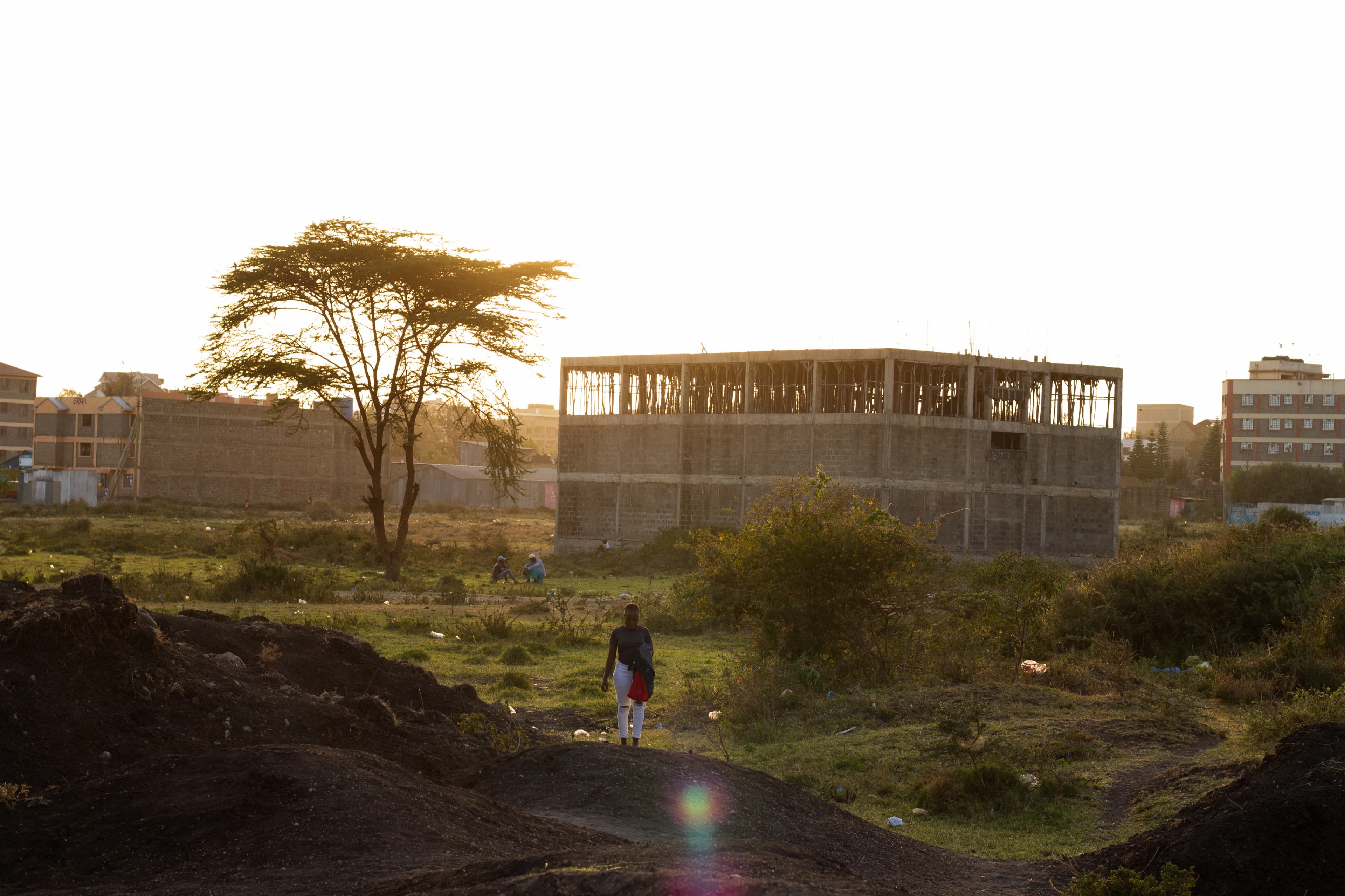
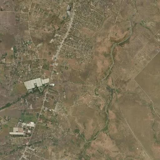
Small towns like Kitengela are experiencing very rapid spatial and demographic growth, accompanied by massive land-use changes. Agricultural lands, pastures, and natural areas are increasingly converted into residential plots, reshaping local landscapes and livelihoods.
The project is centered on three main themes: urbanization dynamics, environment, and health. It focuses on areas that remain rural yet face strong urban pressure, exploring the future of urban life and the habitability of these rapidly changing landscapes.
Main objectives: • Build science-society and public-policy dialogues • Measure environmental transformations, including land-use changes, access to services, pollution (air, water, soil, dust), biodiversity, and ecological functions of soils and wetlands in fast growing urban environments • Assess the social dimensions of environmental change and local experiences of urbanization-related risks • Provide tools and open-access data to support evidence-based urban planning, land governance, and public health strategies
Science-Society Approach
In line with our commitment to a science-society approach, the Urban Care project actively involves local residents and neighborhood associations in its research. Community members participate in field surveys and help facilitate communication between researchers and residents—for example, during biodiversity inventories in their own neighborhoods. These local collaborators serve as mediators, supporting both data collection and knowledge exchange, and are compensated for their contributions.
A research collaboration agreement was signed with the municipality of the small town under study, the Kitengela Municipality, in order to co-develop a roadmap, collectively identify research needs, propose capacity-building activities, and establish dissemination platforms.
We also prioritize participatory dissemination beyond traditional academic publications. Public forums will be organized to present the project's findings to residents, community associations, and local political representatives and to foster ongoing dialogue between scientists and neighborhood residents.
To further support cross-disciplinary dialogue and science society dialogue, the project collaborates with a professional illustrator. The illustrator attends workshops and selected field visits to produce live visuals and illustrations that make complex concepts accessible to both academic and non-academic audiences, strengthening understanding and engagement across the community.
A photographic exploration is also carried out by a professional film photographer that questions urban spaces and residents' practices, allowing us to reflect more broadly on the links between visual production and scientific research, and to offer a sensitive experience. His work considers how these photographic narratives can be situated within a wider visual history of the studied environment and how photography can highlight a plurality of perspectives.
By combining these diverse methods, the Urban Care Project generates an integrated dataset linking environmental transformations, ecological conditions, and social-economic dynamics.
Concept of Care
The concept of 'care' draws on geographer Michel Lussault's work, who defines it in two ways: 'to care about' — paying attention to something, and 'to take care of' — maintaining and managing it sustainably. Urbanization creates living environments where humans, plants, and animals coexist, but these spaces often face serious threats to their habitability. Environmental concerns — such as biodiversity protection, vegetation preservation, and restoration of permeable soils, wetlands, and watercourses — as well as living conditions, particularly health, are frequently overlooked or inadequately addressed by authorities. The ecological functions of soil, including its biological, hydrological, and climatic roles, are rarely considered in urban planning.
Research Methodologies
Land cover and land use changes
Spatial analyses integrate remote sensing data, manual interpretation of satellite imagery, and reference to cadastral maps to track land use changes over time.
Land markets and access to services
Household surveys are conducted using structured questionnaires to analyse access to key services, including electricity, water, waste management, and sanitation.
Pollution and environmental transformations
Environmental quality is measured through targeted monitoring of air, water, and soil.
Biodiversity
Biodiversity assessments are carried out in selected sites using transect methods to inventory plants and trees.
Human health and environmental interactions
Surveys and interviews will document residents' daily interactions with environmental hazards and their adaptive strategies.
Study Sites
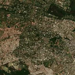
Research is conducted in Kitengela, Kajiado County, Kenya.
Kitengela Central
Noonkopir, along the main road, New Valley, and Milimani.
Kitengela Periphery
Acacia, Enkasiti and Isinya.
Ready to Explore Our Work?
Discover the research activities, fieldwork, and collaborative efforts that make Urban Care possible.
Explore Our Activities